
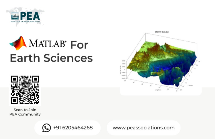
Image Analysis In Earth Science Using Python & Multiple Software
Premium Workshop
For PEA Members Only


Unlock the Power of Image Analysis for Earth Science: Free Workshop
Join us for a workshop exploring the dynamic intersection of Python and cutting-edge software in image analysis for Earth science. Whether you're a seasoned researcher or a budding enthusiast, this event offers a unique opportunity to delve into the fascinating world of Earth observation through a hands-on, interactive learning experience.
Workshop Objectives
Foundations of Image Analysis
Introduction to Python for Earth Science Applications
Basics of Remote Sensing and Image Processing
Advanced Techniques and Practical Applications
Leveraging Python Libraries for Image Analysis
Case Studies and Real-world Applications in Earth Science
About the Presenter
The presenter is an experienced industry professional with a strong background in reservoir engineering, geoscience, and digital technologies. With extensive expertise in applying computational tools and software to complex subsurface challenges, the presenter brings practical insights into bridging traditional methods with modern data-driven approaches.


Premium Workshop
For PEA Members Only
Applied Dynamic Well Modeling & Simulation
This advanced workshop dives into dynamic well modeling and simulation techniques to optimize oil and gas well performance under transient flow conditions. Participants will learn to predict, diagnose, and mitigate operational challenges using state-of-the-art numerical models and real-time data integration.Key Topics:Fundamentals of Dynamic Well ModelingApplications in Drilling & ProductionAdvanced Tools & Case Studies